Uncovering Shetland's past at Viking
The need for archaeological works is determined as part of the planning process in consultation with the Local Planning Archaeologist (LPA), who advises local councils on archaeological matters and ensures that works are carried out in accordance with the correct procedures and methodology.
Undertaking archaeological works at major developments like Viking is key to ensuring that any archaeological sites or artifacts discovered are professionally recorded and/or excavated. This work helps inform how the land has been used in the past.
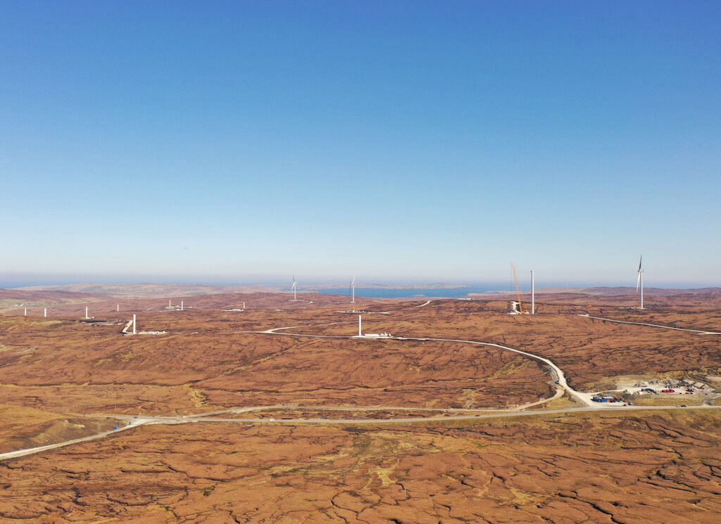
Headland Archaeology has been undertaking archaeological works on behalf of SSE Renewables throughout the wind farm’s construction and has also worked on other projects associated with Viking, including the launch of the interactive website with a map of sites across the wind farm and the wider central Mainland.
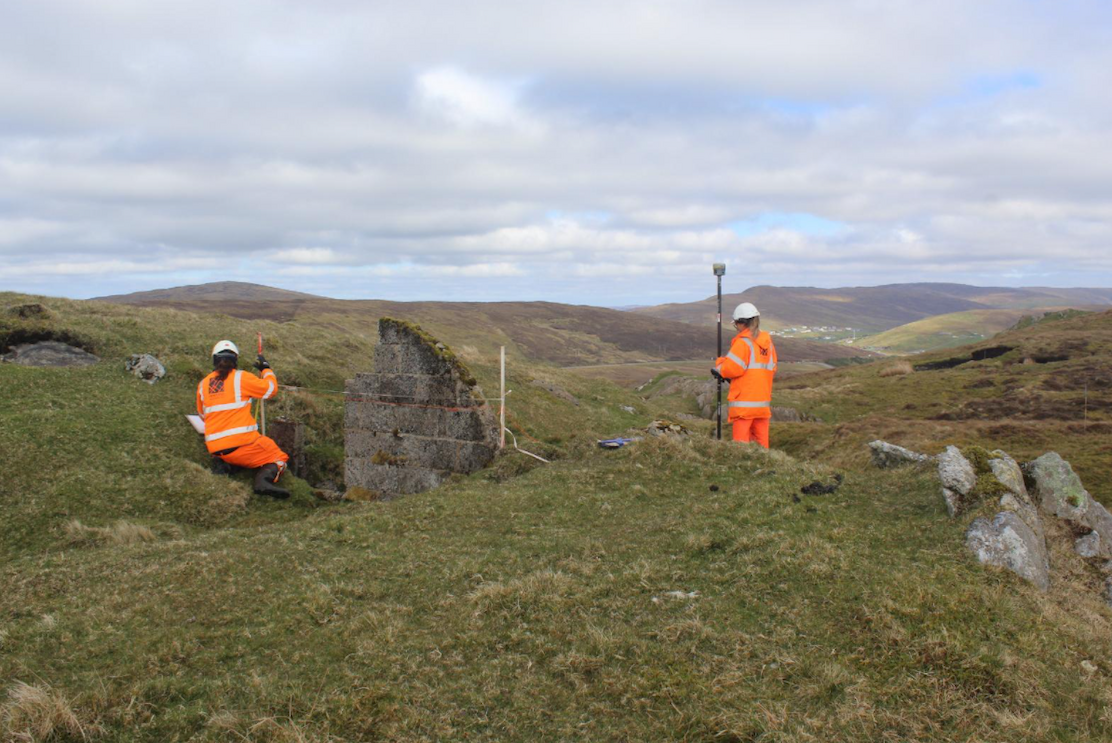
Viking has also partnered with Mind Your Head Shetland to deliver a series of community archaeology workshops including undertaking a Community Survey at the Scheduled Monument of South Newing – a prehistoric homestead enclosure. Volunteers from the local community and staff from both Headland Archaeology and Mind Your Head Shetland braved the weather to learn about archaeological survey techniques and site recording and collect the data needed to improve the understanding of the site.
These events form part of a Heritage Strategy that Headland Archaeology is delivering alongside work at the wind farm to contribute to Shetland’s legacy of valuing, interpreting, and sharing its outstanding history and heritage.
The Heritage Strategy was developed in conjunction with Shetland’s LPA to facilitate and encourage the community in the central Mainland to be involved in the discovery, management, enhancement and display of their cultural heritage through interaction with the rich heritage in the study area.
One of the aims of the Heritage Strategy was to undertake a programme of community archaeology, developing community skills in the a variety of excavation and recording techniques in order to contribute to regional research. Our community events in September 2022 covered walkover, photogrammetry and topographic surveys and the processing of the collected data to contribute to the understanding of prehistoric settlement in the western Mainland.
Visit the Interactive Archaeological Map Website


