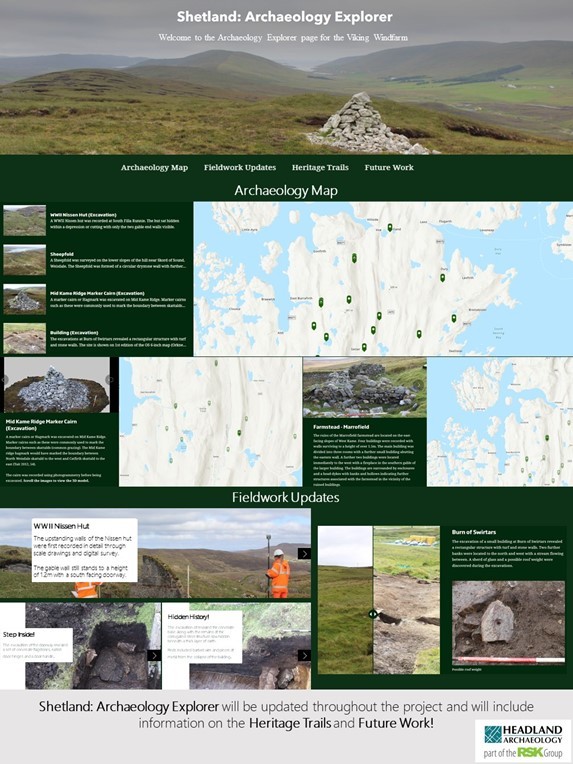
Archaeologists working on the Viking Energy Wind Farm have launched an interactive map showing old buildings and artefacts from around the site.
The new website will be updated throughout the construction phase as the team from Headland Archaeology (UK) Ltd explores and excavates more areas of interest.
Headland began work in advance of construction works and has since built up a wealth of archaeological data, charting changes in Shetland life from prehistory to within living memory.
The interactive map is the first part of a comprehensive Heritage Strategy being created to highlight aspects of past life in the central Mainland.
Details of future research, and projects that you can get involved in, will also be added to the page, including news about public heritage trails.